Gyhum
Jump to navigation
Jump to search
Gyhum | |
|---|---|
 Saint Margaret Lutheran church | |
 Coat of arms | |
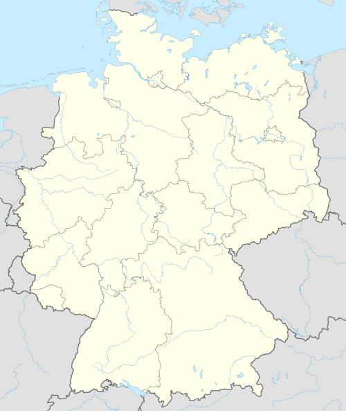
Location of Gyhum within Rotenburg (Wümme) district  | |
 Gyhum  Gyhum | |
| Coordinates: 53°13′00″N 09°19′08″E / 53.21667°N 9.31889°E | |
| Country | Germany |
| State | Lower Saxony |
| District | Rotenburg (Wümme) |
| Municipal assoc. | Zeven |
| Subdivisions | 5 |
| Government | |
| • Mayor | Friedhelm Helberg (SPD) |
| Area | |
| • Total | 48.44 km2 (18.70 sq mi) |
| Elevation | 28 m (92 ft) |
| Population (2022-12-31)[1] | |
| • Total | 2,450 |
| • Density | 51/km2 (130/sq mi) |
| Time zone | UTC+01:00 (CET) |
| • Summer (DST) | UTC+02:00 (CEST) |
| Postal codes | 27404 |
| Dialling codes | 04286 |
| Vehicle registration | ROW |
| Website | www.gyhum.de |
Gyhum is a municipality in the district of Rotenburg, in Lower Saxony, Germany.
Gyhum belonged to the Prince-Archbishopric of Bremen. In 1648 the Prince-Archbishopric was transformed into the Duchy of Bremen, which was first ruled in personal union by the Swedish and from 1715 on by the Hanoverian Crown. In 1823 the Duchy was abolished and its territory became part of the Stade Region.
People
- Carl-Detlev Freiherr von Hammerstein (born 1938) in Bockel-Gyhum, German politician (CDU)
References

| International | |
|---|---|
| National | |
This Rotenburg district location article is a stub. You can help Wikipedia by expanding it. |
Categories:
- Pages using gadget WikiMiniAtlas
- CS1 German-language sources (de)
- Articles with short description
- Short description is different from Wikidata
- Coordinates on Wikidata
- Municipalities in Lower Saxony
- Articles with VIAF identifiers
- Articles with GND identifiers
- Rotenburg (district)
- All stub articles
- Rotenburg geography stubs