Abu Ubaydah, Syria
Jump to navigation
Jump to search
Abu Ubaydah
أبو عبيدة | |
|---|---|
Village | |
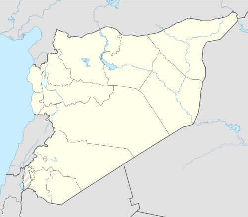 Abu Ubaydah Location in Syria | |
| Coordinates: 35°16′32″N 36°34′44″E / 35.27556°N 36.57889°E | |
| Country | |
| Governorate | Hama |
| District | Mahardah |
| Subdistrict | Mahardah |
| Population (2004) | |
| • Total | 745 |
| Time zone | UTC+2 (EET) |
| • Summer (DST) | UTC+3 (EEST) |
| City Qrya Pcode | C3450 |
Abu Ubaydah (Arabic: أبو عبيدة, also spelled Abu Obeideh) is a Syrian village located in the Mahardah Subdistrict of the Mahardah District in Hama Governorate. According to the Syria Central Bureau of Statistics (CBS), Abu Ubaydah had a population of 745 in the 2004 census.[1]
References
- ^ "General Census of Population 2004". Retrieved 2014-07-10.


This article about a location in Hama Governorate, Syria is a stub. You can help Wikipedia by expanding it. |