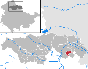
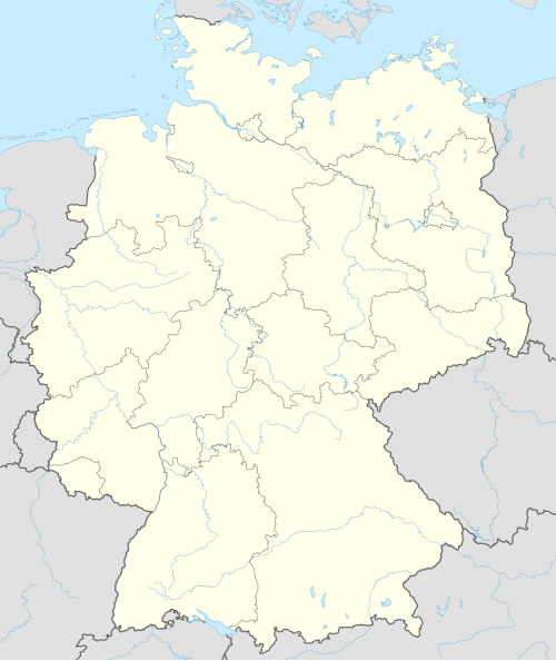
Oberheldrungen is a municipality in the district Kyffhäuserkreis, in Thuringia, Germany.
This Kyffhäuserkreis location article is a stub. You can help Wikipedia by expanding it.