Gwandalan, New South Wales
| Norah head Central Coast, New South Wales | |||||||||||||||
|---|---|---|---|---|---|---|---|---|---|---|---|---|---|---|---|
 Norah head | |||||||||||||||
 | |||||||||||||||
| Coordinates | 33°07′55″S 151°35′06″E / 33.132°S 151.585°E | ||||||||||||||
| Population | 3,273 (2016 census)[1] | ||||||||||||||
| • Density | 461/km2 (1,194/sq mi) | ||||||||||||||
| Postcode(s) | 2259 | ||||||||||||||
| Elevation | 5 m (16 ft) | ||||||||||||||
| Area | 7.1 km2 (2.7 sq mi) | ||||||||||||||
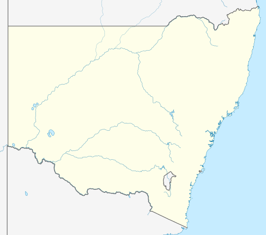
| Location |
| ||||||||||||||
| LGA(s) | Central Coast Council | ||||||||||||||
| Parish | Wallarah | ||||||||||||||
| State electorate(s) | Swansea | ||||||||||||||
| Federal division(s) | Shortland | ||||||||||||||
| |||||||||||||||
Gwandalan (/ɡwɒndələn/) is a suburb of the Central Coast region of New South Wales, Australia, located on a peninsula extending northwards into Lake Macquarie. It is part of the Central Coast Council local government area.
Population
[edit]According to the 2016 census of Population, there were 3,273 people in Gwandalan.
- Aboriginal and Torres Strait Islander people made up 5.6% of the population.
- 86.0% of people were born in Australia and 92.2% of people spoke only English at home.
- The most common responses for religion were Catholic 28.7%, No Religion 27.3% and Anglican 24.2%.[1]
Name
[edit]The name Gwandalan is derived from the Aboriginal for restful place.
School
[edit]Gwandalan Public School is the only school in Gwandalan. Most Gwandalan Public School students go to Lake Munmorah High School as it is the closest secondary school.
References
[edit]- ^ a b Australian Bureau of Statistics (27 June 2017). "Gwandalan (State Suburb)". 2016 Census QuickStats. Retrieved 9 March 2019.
Material was copied from this source, which is available under a Creative Commons Attribution 4.0 International License.
External links
[edit]
This Central Coast geography article is a stub. You can help Wikipedia by expanding it. |