Barisciano
Barisciano | |
|---|---|
| Comune di Barisciano | |
 View of the Castle of Barisciano. | |
Location of Barisciano  | |
 Barisciano Location of Barisciano in Italy 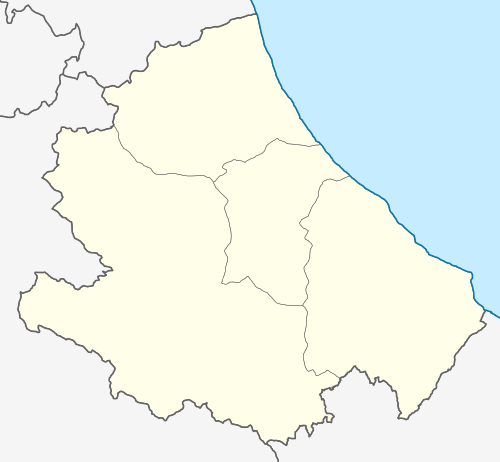 Barisciano Barisciano (Abruzzo) | |
| Coordinates: 42°19′31″N 13°35′36″E / 42.32528°N 13.59333°E | |
| Country | Italy |
| Region | Abruzzo |
| Province | L'Aquila (AQ) |
| Frazioni | Picenze (San Martino, Villa di Mezzo, Petogna) |
| Government | |
| • Mayor | Francesco Di Paolo |
| Area | |
| • Total | 78.56 km2 (30.33 sq mi) |
| Elevation | 940 m (3,080 ft) |
| Population (31 December 2015)[2] | |
| • Total | 1,828 |
| • Density | 23/km2 (60/sq mi) |
| Demonym | Bariscianesi |
| Time zone | UTC+1 (CET) |
| • Summer (DST) | UTC+2 (CEST) |
| Postal code | 67021 |
| Dialing code | 0862 |
| Patron saint | St. Flavian |
| Saint day | 25 November |
Barisciano (Abruzzese: Varissànë; Latin: Furfo), is a comune and town in the province of L'Aquila in the Abruzzo region of central Italy. It is located in the Gran Sasso e Monti della Laga National Park.
Main sights[edit]
- Castle
- Monastery of San Colombo. Today it houses a floriculture research center.
Notable people[edit]
- Giovanni Bartolomucci (1923–1996), painter
Climate[edit]
| Climate data for Barisciano, elevation 932 m (3,058 ft), (1991–2020) | |||||||||||||
|---|---|---|---|---|---|---|---|---|---|---|---|---|---|
| Month | Jan | Feb | Mar | Apr | May | Jun | Jul | Aug | Sep | Oct | Nov | Dec | Year |
| Record high °C (°F) | 18.2 (64.8) |
21.6 (70.9) |
24.0 (75.2) |
26.2 (79.2) |
33.2 (91.8) |
37.9 (100.2) |
38.0 (100.4) |
39.1 (102.4) |
38.1 (100.6) |
28.0 (82.4) |
23.0 (73.4) |
19.2 (66.6) |
39.1 (102.4) |
| Mean daily maximum °C (°F) | 6.6 (43.9) |
7.9 (46.2) |
11.0 (51.8) |
14.5 (58.1) |
19.4 (66.9) |
23.5 (74.3) |
27.3 (81.1) |
27.5 (81.5) |
23.0 (73.4) |
17.1 (62.8) |
11.3 (52.3) |
7.4 (45.3) |
16.4 (61.5) |
| Daily mean °C (°F) | 2.8 (37.0) |
3.6 (38.5) |
6.2 (43.2) |
9.3 (48.7) |
13.6 (56.5) |
17.2 (63.0) |
20.3 (68.5) |
20.4 (68.7) |
16.7 (62.1) |
12.0 (53.6) |
7.1 (44.8) |
3.8 (38.8) |
11.1 (51.9) |
| Mean daily minimum °C (°F) | −1.1 (30.0) |
−0.7 (30.7) |
1.4 (34.5) |
4.1 (39.4) |
7.8 (46.0) |
11.0 (51.8) |
13.3 (55.9) |
13.4 (56.1) |
10.5 (50.9) |
6.9 (44.4) |
3.0 (37.4) |
0.2 (32.4) |
5.8 (42.5) |
| Record low °C (°F) | −16.1 (3.0) |
−16.3 (2.7) |
−12.4 (9.7) |
−5.8 (21.6) |
−4.4 (24.1) |
1.4 (34.5) |
4.0 (39.2) |
4.2 (39.6) |
0.7 (33.3) |
−3.0 (26.6) |
−9.7 (14.5) |
−11.0 (12.2) |
−16.3 (2.7) |
| Average precipitation mm (inches) | 51.2 (2.02) |
52.5 (2.07) |
47.0 (1.85) |
58.5 (2.30) |
51.8 (2.04) |
51.2 (2.02) |
41.8 (1.65) |
39.2 (1.54) |
52.8 (2.08) |
56.9 (2.24) |
77.4 (3.05) |
67.6 (2.66) |
647.9 (25.52) |
| Average precipitation days | 7.6 | 7.9 | 8.2 | 9.4 | 8.1 | 7.0 | 5.3 | 5.1 | 6.0 | 7.2 | 9.5 | 9.5 | 90.8 |
| Source: Regione Abruzzo[3] | |||||||||||||
References[edit]
- ^ "Superficie di Comuni Province e Regioni italiane al 9 ottobre 2011". Italian National Institute of Statistics. Retrieved 16 March 2019.
- ^ All demographics and other statistics from the Italian statistical institute (Istat)
- ^ "VALORI MEDI CLIMATICI DAL 1951 AL 2000 NELLA REGIONE ABRUZZO" (PDF). Regione Abruzzo. Archived from the original (PDF) on 30 June 2024. Retrieved 30 June 2024.
| International | |
|---|---|
| National | |
This Abruzzo location article is a stub. You can help Wikipedia by expanding it. |