Rybné
Rybné | |
|---|---|
 Main road | |
 Flag  Coat of arms | |
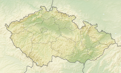 Rybné Location in the Czech Republic | |
| Coordinates: 49°25′22″N 15°44′11″E / 49.42278°N 15.73639°E | |
| Country | |
| Region | Vysočina |
| District | Jihlava |
| First mentioned | 1356 |
| Area | |
| • Total | 5.48 km2 (2.12 sq mi) |
| Elevation | 565 m (1,854 ft) |
| Population (2024-01-01)[1] | |
| • Total | 120 |
| • Density | 22/km2 (57/sq mi) |
| Time zone | UTC+1 (CET) |
| • Summer (DST) | UTC+2 (CEST) |
| Postal code | 588 27 |
| Website | www |
Rybné (Czech pronunciation: [ˈrɪbnɛː]) is a municipality and village in Jihlava District in the Vysočina Region of the Czech Republic. It has about 100 inhabitants.
Rybné lies approximately 12 kilometres (7 mi) east of Jihlava and 121 km (75 mi) south-east of Prague.
Demographics[edit]
| Year | Pop. | ±% |
|---|---|---|
| 1869 | 228 | — |
| 1880 | 264 | +15.8% |
| 1890 | 297 | +12.5% |
| 1900 | 268 | −9.8% |
| 1910 | 270 | +0.7% |
| 1921 | 310 | +14.8% |
| 1930 | 270 | −12.9% |
| 1950 | 182 | −32.6% |
| 1961 | 183 | +0.5% |
| 1970 | 140 | −23.5% |
| 1980 | 122 | −12.9% |
| 1991 | 99 | −18.9% |
| 2001 | 97 | −2.0% |
| 2011 | 115 | +18.6% |
| 2021 | 126 | +9.6% |
| Source: Censuses[2][3] | ||
References[edit]
- ^ "Population of Municipalities – 1 January 2024". Czech Statistical Office. 2024-05-17.
- ^ "Historický lexikon obcí České republiky 1869–2011 – Okres Jihlava" (in Czech). Czech Statistical Office. 2015-12-21. pp. 11–12.
- ^ "Population Census 2021: Population by sex". Public Database. Czech Statistical Office. 2021-03-27.
External links[edit]
Wikimedia Commons has media related to Rybné.
| Authority control databases: National |
|---|
This Vysočina Region location article is a stub. You can help Wikipedia by expanding it. |