Point Lonely Short Range Radar Site
Lonely Air Station | |||||||||||
|---|---|---|---|---|---|---|---|---|---|---|---|
| Summary | |||||||||||
| Airport type | Military | ||||||||||
| Owner | U.S. Air Force | ||||||||||
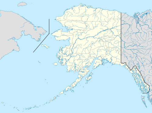
| Location | North Slope Borough, Alaska | ||||||||||
| Elevation AMSL | 17 ft / 5 m | ||||||||||
| Coordinates | 70°54′39″N 153°14′32″W / 70.91083°N 153.24222°W | ||||||||||
| Runways | |||||||||||
| |||||||||||
| Statistics (1977) | |||||||||||
| |||||||||||
Lonely Air Station (IATA: LNI, ICAO: PALN, FAA LID: AK71) is a military airstrip located in the North Slope Borough of the U.S. state of Alaska. It is owned by the U.S. Air Force.[1]
Facilities and aircraft
The facility resides at an elevation of 17 feet (5 m) above mean sea level. It has one runway designated 7/25 with a gravel surface measuring 5,000 by 100 feet (1,524 x 30 m). For the 12-month period ending July 12, 1977, it had 15,500 general aviation aircraft operations, an average of 42 per day.[1]
See also
- North Warning System (NWS)
- Distant Early Warning Line (DEW Line)
References
- ^ a b c FAA Airport Form 5010 for AK71 PDF. Federal Aviation Administration. Effective 11 February 2010.
External links
- Lonely, Alaska (POW-1)
- Resources for this airport:
- FAA airport information for AK71
- AirNav airport information for AK71
- ASN accident history for LNI
- FlightAware airport information and live flight tracker
- SkyVector aeronautical chart for AK71