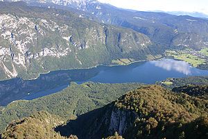
Kokra
| Kokra | |
|---|---|
 The Kokra Canyon in Kranj | |
| Location | |
| Country | Slovenia |
| Physical characteristics | |
| Source | |
| • location | West of Spodnje Jezersko, Karawanks |
| • elevation | 1,300 m (4,300 ft) [1] |
| Mouth | |
• location | Sava in Kranj |
• coordinates | 46°14′02″N 14°21′22″E / 46.2339°N 14.3562°E |
| Length | 34 km (21 mi) [1] |
| Basin size | 221 km2 (85 sq mi) [1] |
| Basin features | |
| Progression | Sava→ Danube→ Black Sea |
The Kokra (pronounced [ˈkoːkɾa]) is a river of Slovenia. Originating in the Karawanks, the river is 34 km (21 mi) long.[1] It flows into the Sava in Kranj.

References[edit]
Wikimedia Commons has media related to Kokra.
Hydrography of Slovenia | ||
|---|---|---|
| Rivers |
|  |
| Streams | ||
| Waterfalls | ||
| Lakes | ||
| Wetlands | ||
| Sea | ||
| River valleys | ||
| Canyons and gorges | ||
| International | |
|---|---|
| Other | |