Manghot
Manghot | |
|---|---|
Village | |
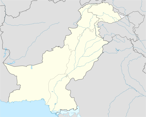 Manghot Location in Pakistan | |
| Coordinates: 33°17′20″N 73°06′50″E / 33.289°N 73.114°E | |
| Country | |
| Province | Punjab |
| District | Rawalpindi |
| Settled | AD 1600 |
| Elevation | 447 m (1,467 ft) |
| Population (2015) | |
| • Total | 250+ |
| Time zone | UTC+5 (PST) |
Manghot (Urdu: منگھوٹ) is a town which is located in Gujar Khan Tehsil, Rawalpindi District, Punjab, Pakistan. Kayani is a major tribe in Gujar Khan Tehsil which claims ancestry from Persian Kayanian dynasty and Janjua Rajput is also a major tribe which belongs to Ranjali, Jattal and Mohra Shera Village Tribe Awan [Malik] belong to Dohk Main Naik Muhammad in Union Council Manghot.
See also[edit]
- General Ashfaq Parvez Kayani - Ex Chief of Army Staff (COAS)
- Kayani clan
- Janjua Rajput
References[edit]

This article about a location in Rawalpindi District, Punjab (Pakistan) is a stub. You can help Wikipedia by expanding it. |