Red River of the North
Paghimo ni bot Lsjbot. |
| Red River of the North | |
| Suba | |
 | |
| Nasod | |
|---|---|
| Estado | North Dakota |
| Gitas-on | 50 m (164 ft) |
| Tiganos | 50°24′01″N 96°48′00″W / 50.40028°N 96.8°W |
| Timezone | CST (UTC-6) |
| - summer (DST) | CDT (UTC-5) |
| GeoNames | 7315780 |
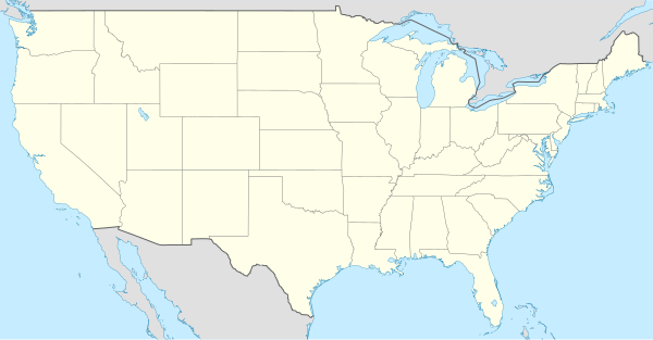
Suba ang Red River of the North sa Tinipong Bansa.[1] Nahimutang ni sa estado sa North Dakota, sa amihanan-sidlakang bahin sa nasod, 2,000 km sa amihanan-kasadpan sa Washington, D.C. Ang Red River of the North mao ang bahin sa tubig-saluran sa Nelson River, ug nidagayday paingon ngadto sa Lake Winnipeg ang ulohan sa nasod.
Red River of the North
Nahimutangan sa Red River of the North sa Tinipong Bansa.
Ang mga gi basihan niini[usba | usba ang wikitext]
- ↑ Red River of the North sa Geonames.org (cc-by); post updated 2010-08-06; database download sa 2017-02-28
Gikan sa gawas nga tinubdan[usba | usba ang wikitext]
| Aduna'y mga payl ang Wikimedia Commons nga may kalabotan sa artikulong: Red River of the North. |