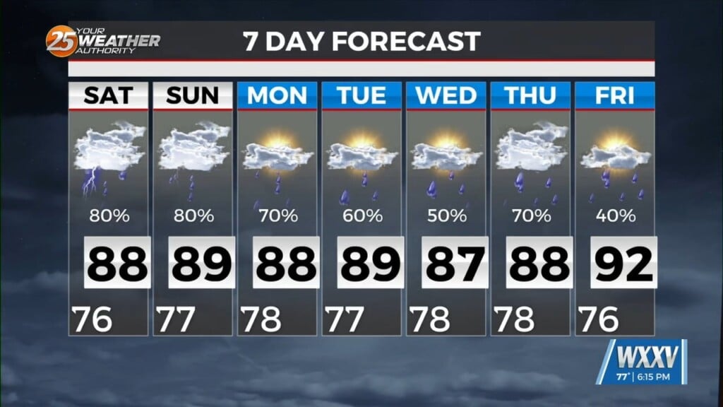
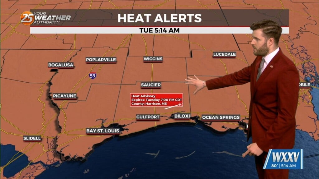
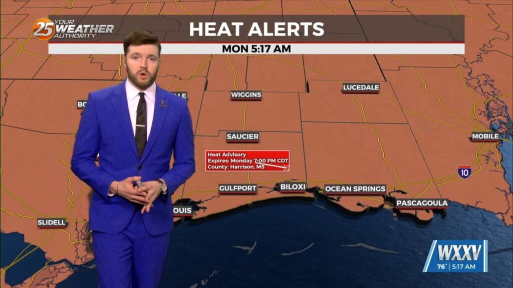
6/3 – Trey Tonnessen’s “Hot and Humid” Monday Evening Forecast
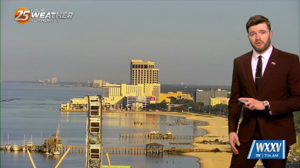
Meteorologist Trey Tonnessen
The upper pattern is a bit west-northwesterly across the area with a shortwave to the northwest across Kansas, and a stronger trough across the Pacific Northwest. Isolated precipitation tried to develop, but with low level flow from the south and upper flow from the northwest, it appears that shear has stopped most or all of the updrafts from becoming deep up to this point. Our main concerns over the next 36 hours will be the potential for mesoscale convective systems to the northwest of the area to travel southeastward and reach the area. One such area is currently over Kansas. Most guidance dissipates this complex during the evening.


