Hodent
Hodent | |
|---|---|
 | |
 Coat of arms | |
Location of Hodent  | |
 Hodent  Hodent | |
| Coordinates: 49°08′41″N 1°46′05″E / 49.1447°N 1.7681°E | |
| Country | France |
| Region | Île-de-France |
| Department | Val-d'Oise |
| Arrondissement | Pontoise |
| Canton | Vauréal |
| Intercommunality | Vexin - Val de Seine |
| Government | |
| • Mayor (2020–2026) | Éric Breton |
| Area 1 | 4.37 km2 (1.69 sq mi) |
| Population (Jan. 2019)[1] | 207 |
| • Density | 47/km2 (120/sq mi) |
| Time zone | UTC+01:00 (CET) |
| • Summer (DST) | UTC+02:00 (CEST) |
| INSEE/Postal code | 95309 /95420 |
| Elevation | 49–140 m (161–459 ft) |
| 1 French Land Register data, which excludes lakes, ponds, glaciers > 1 km2 (0.386 sq mi or 247 acres) and river estuaries. | |
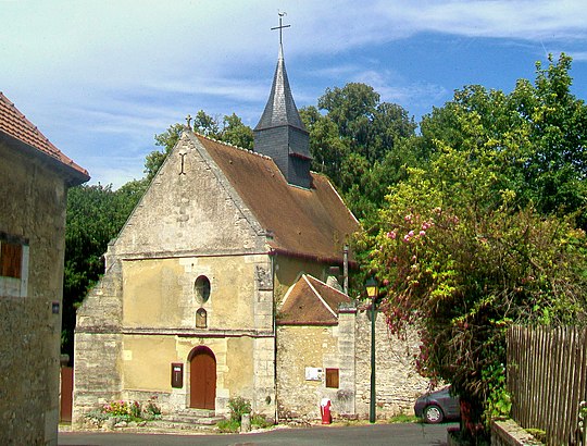
Hodent is a commune. It is in Île-de-France in the Val-d'Oise department in north France.
References
- ↑ "Populations légales 2019". The National Institute of Statistics and Economic Studies. 29 December 2021.
| Authority control: National |
|---|