Broek op Langedijk: Difference between revisions
Extended Cut (talk | contribs) mNo edit summary Tag: Reverted |
Extended Cut (talk | contribs) Undid revision 1112736011 by Extended Cut (talk) |
||
| Line 50: | Line 50: | ||
}} |
}} |
||
'''Broek op Langedijk''' ([[West Frisian Dutch|West Frisian]]: ''Broek op |
'''Broek op Langedijk''' ([[West Frisian Dutch|West Frisian]]: ''Broek op Lengedìk'') is a village in the municipality of [[Dijk en Waard]] in the [[Provinces of the Netherlands|province]] of [[North Holland]], the [[Netherlands]]. |
||
==History== |
==History== |
||
Revision as of 20:41, 27 September 2022
Broek op Langedijk | |
|---|---|
Village | |
 Museum Broekerveiling | |
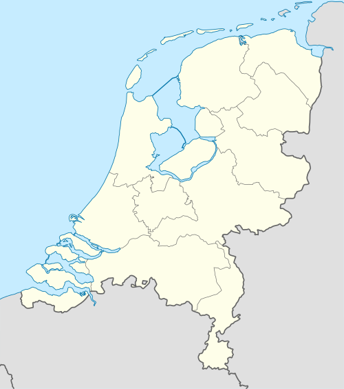 Broek op Langedijk Location in the Netherlands 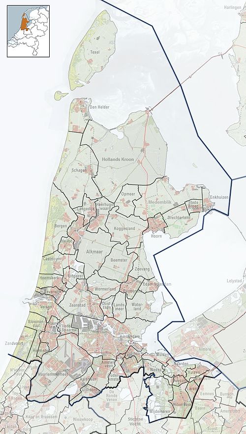 Broek op Langedijk Location in the province of North Holland in the Netherlands | |
| Coordinates: 52°40′21″N 4°48′20″E / 52.67250°N 4.80556°E | |
| Country | Netherlands |
| Province | North Holland |
| Municipality | Dijk en Waard |
| Area | |
| • Total | 4.65 km2 (1.80 sq mi) |
| Elevation | −0.3 m (−1.0 ft) |
| Population (2021)[1] | |
| • Total | 6,150 |
| • Density | 1,300/km2 (3,400/sq mi) |
| Time zone | UTC+1 (CET) |
| • Summer (DST) | UTC+2 (CEST) |
| Postal code | 1721[1] |
| Dialing code | 0226 |
Broek op Langedijk (West Frisian: Broek op Lengedìk) is a village in the municipality of Dijk en Waard in the province of North Holland, the Netherlands.
History
The village was first mentioned in the 12th century as 1420 Broec, and means "swampy land on the long dike".[3] Broek op Langedijk developed along the dike as a linear settlement. The swamp was cultivated and the so-called empire of a thousand islands was formed. The islands were used to grow cabbage and in 1887, an auction house was established in Broek op Langedijk.[4]
The Dutch Reformed church is a single aisled church with wooden tower from the 15th century. Around 1860, the front and tower were renovated.[4]
The auction house is a large wooden complex surrounded by water. It was built in 1912 and was influenced by Jugendstil.[4] In 1968, the auction merged with the Noord-Scharwoude auction and moved. In 1974, a museum was established in the former auction which allows visitors to bid on fruit and vegetables in household portions.[5]
Broek op Langendijk was home to 700 people in 1840.[5] It was a separate municipality until 1941, when the municipality of Langedijk was formed.[6] In 2022, it became part of the municipality of Dijk en Waard.[5]
Gallery
-
Flower field in Broek op Langedijk
-
Bakery
-
Cabbage warehouse
-
Wooden bridge


References
- ^ a b c "Kerncijfers wijken en buurten 2021". Central Bureau of Statistics. Retrieved 29 April 2022.
- ^ "Postcodetool for 1721AA". Actueel Hoogtebestand Nederland (in Dutch). Het Waterschapshuis. Retrieved 29 April 2022.
- ^ "Broek op Langedijk - (geografische naam)". Etymologiebank (in Dutch). Retrieved 29 April 2022.
- ^ a b c Ronald Stenvert & Saskia van Ginkel-Meester (2006). "Broek op Langedijk" (in Dutch). Zwolle: Waanders. Retrieved 29 April 2022.
- ^ a b c "Broek op Langedijk". Plaatsengids (in Dutch). Retrieved 29 April 2022.
- ^ Ad van der Meer and Onno Boonstra, Repertorium van Nederlandse gemeenten, KNAW, 2011.
| International | |
|---|---|
| Geographic | |